5 Best Mountains in South Sinai for Adventure Lovers
Discover five of South Sinai’s most scenic mountains for hiking, sunrise adventures, desert views, and unforgettable outdoor experiences.
Quick answer
South Sinai is home to some of Egypt’s most rewarding mountain adventures. Mount Catherine (2,642 m) is Egypt’s highest peak and offers a challenging hike through the St. Catherine mountains. Jabal Musa (Mount Sinai, 2,285 m) is a popular choice for sunrise hikes, with the summit reached by either the Steps of Repentance or Camel Trail. For more remote adventures, consider Mount Umm Shomar (2,578 m), Jebel Serbal (2,070 m), and Jabal Abbas Basha, each offering rugged landscapes, mountain views, and fewer crowds.
5 Best Mountains in South Sinai for Adventure Lovers
Mount Sinai (Jebel Musa)
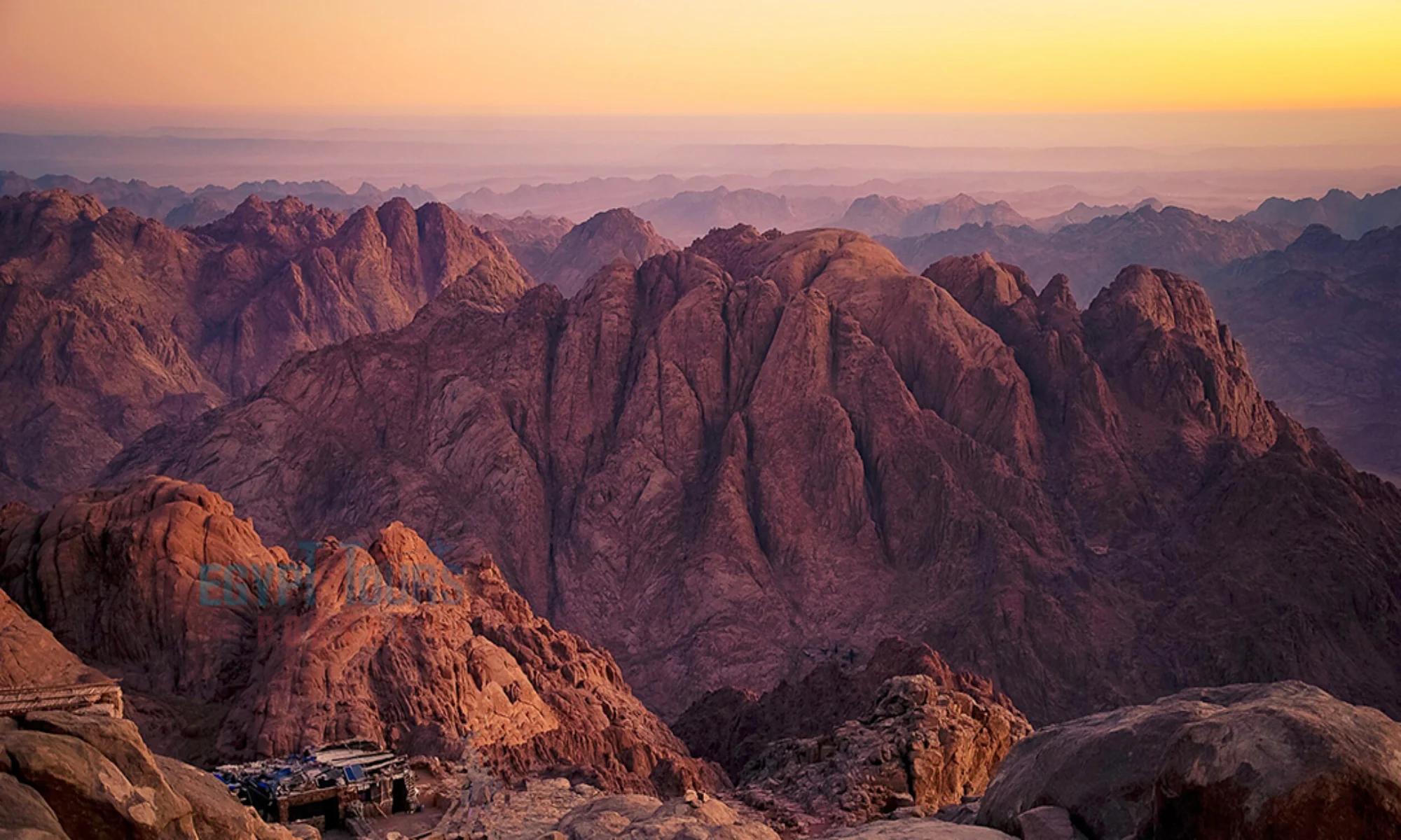
Start here if you want one mountain that delivers everything. Jebel Musa rises 2,285 metres above the Saint Catherine valley and sits roughly 3 hours by road from Sharm El Sheikh, 1.5 hours from Dahab, and about 6 hours from Cairo. The classic Camel Path is around 7 km return with 715 metres of elevation gain. Most hikers leave at midnight and reach the summit in 2.5 to 3 hours to catch sunrise above the granite peaks. The final 750 Steps of Repentance are steep but manageable. Difficulty: moderate. A licensed Bedouin guide is mandatory and is arranged at the trailhead. Temperatures at the top can drop near freezing even in October, so pack a warm layer. Best months: October to April. Confirm current access rules with local operators before you go, as conditions can change.
Mount Catherine (Jebel Katherin)
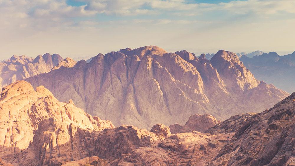
Egypt's highest point, and the hardest of the five. Jebel Katherin tops out at 2,642 metres and sits a few kilometres south of Saint Catherine town. The main trail via Shaq Mousa is roughly 10.5 km one way and involves nearly 1,000 metres of ascent on rocky, boulder-strewn ground. Plan on 8 to 9 hours of total walking. From the summit on a clear day you can see the Red Sea, the Gulf of Suez, and ridge after ridge of Sinai granite. Difficulty: hard. Prior mountain hiking experience is recommended. A local Bedouin guide is strongly advised and adds essential local knowledge on route-finding. Start early in the morning. Best months: March to May and September to November. Check current trail conditions locally before setting out.
Jebel Um Shomer
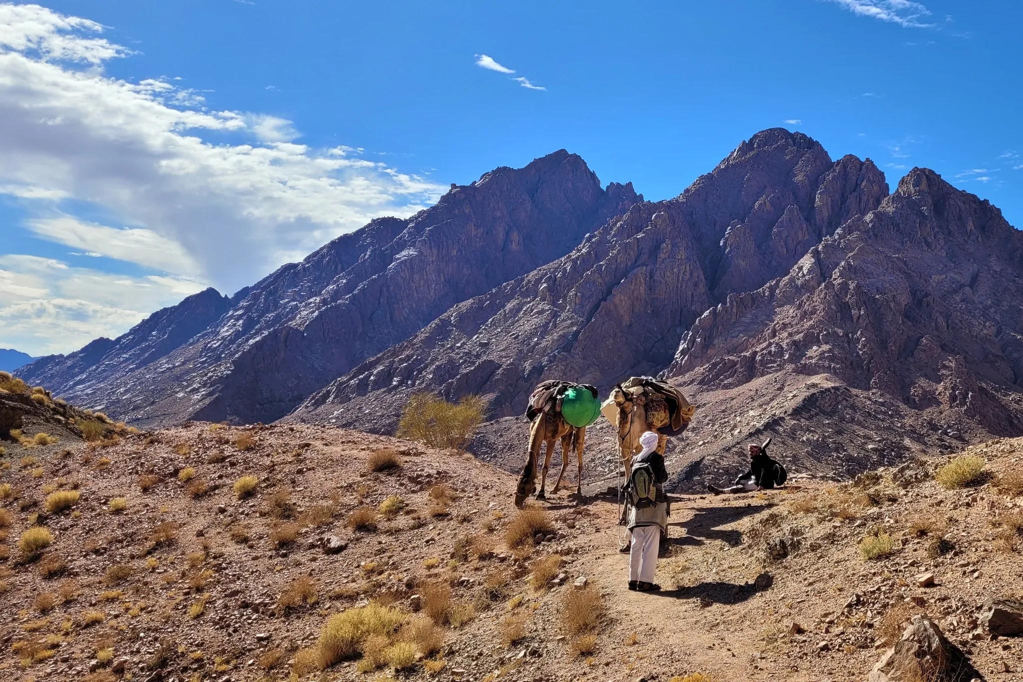
Jebel Um Shomer reaches 2,587 metres and was considered Sinai's highest peak until the 19th century. The summit day covers roughly 13 km with around 1,170 metres of ascent and typically takes 9 to 10 hours. The upper section requires using your hands for balance on jagged granite. Distant views stretch across wadis, desert peaks, and the Red Sea coastline. Difficulty: challenging. No technical climbing gear is needed, but solid fitness and some scrambling comfort are essential. A Bedouin guide familiar with this less-travelled peak is highly recommended. Usually approached as part of a multi-day trek from the Saint Catherine area. Best months: October to April. Best for: experienced hikers who want a genuine scramble.
Jebel Abbas Basha
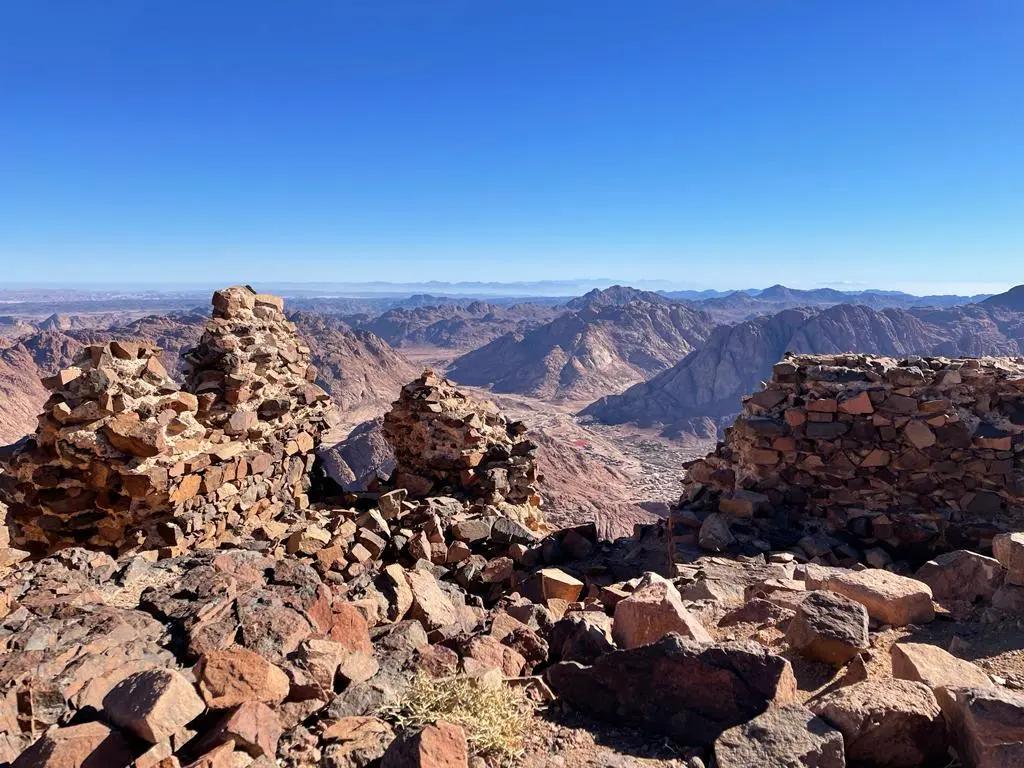
Jebel Abbas Basha stands at 2,383 metres in the highlands around Saint Catherine. The trail starts near El Malga village and passes the stone ruins of an unfinished 19th-century palace commissioned by Abbas I of Egypt, built at 2,304 metres but never completed. The walk from El Malga to the palace takes roughly 2.5 hours, with another 30 minutes to the true summit. Total round trip: allow a full day. Difficulty: moderate to challenging depending on fitness and the route taken. On clear days the Gulf of Aqaba and the mountains of Saudi Arabia are both visible. A local Bedouin guide is recommended for route navigation. Best months: March to May and October to November. Verify current access locally before hiking.Best for: history lovers who also want a serious hike.
Jebel Bab El Donya
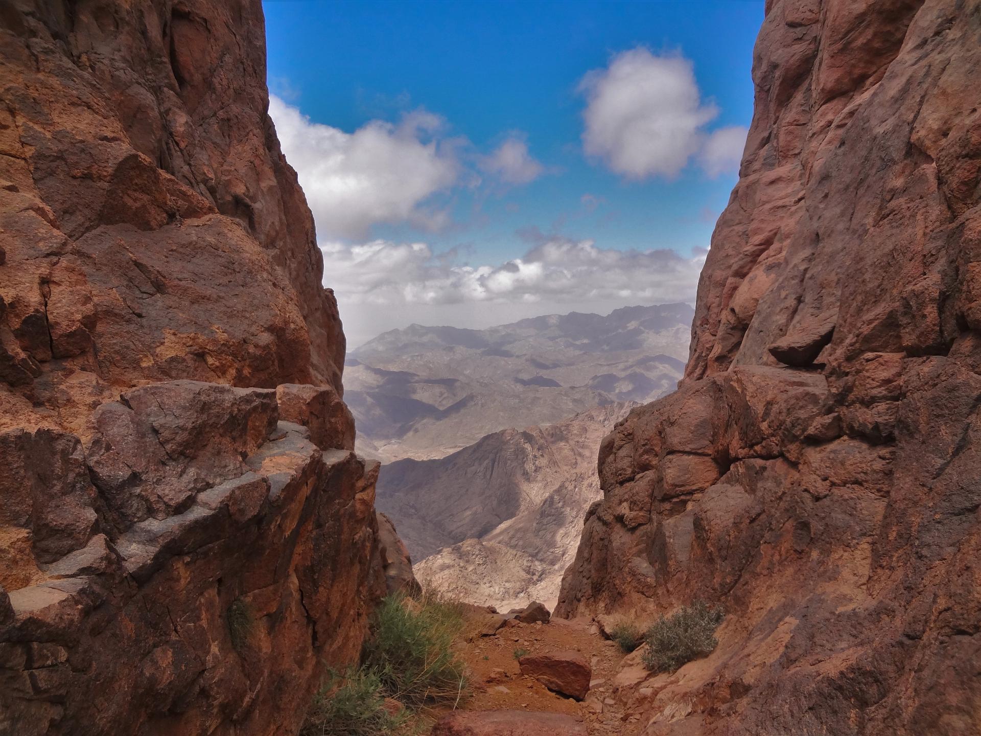
Jebel Bab El Donya (Door to the World) sits at approximately 2,090 metres in the wilder western part of the Saint Catherine highlands. Reached via rugged wadis and traditional Bedouin paths, the summit offers expansive panoramas over uninhabited desert valleys that most visitors never see. The route passes the Ain Najila spring, a natural water source that has guided Bedouin travellers for generations. Difficulty: challenging on longer highland itineraries. This peak is almost always tackled as part of a 3 to 4 day multi-day trek rather than as a day hike. A licensed Bedouin guide is essential since the trail is remote and route-finding skills are required. Best months: October to April. Mountain access and conditions change; check current local guidance before any hike. Best for: adventurers who want solitude and big western views.