Five Best Hiking Trails in Switzerland (2026)
Discover five of Switzerland's most scenic hiking trails, from the famous mountain lakes of Zermatt to the waterfalls of Lauterbrunnen and the dramatic Eiger North Face.
Quick answer
The Five Lakes Walk in Zermatt takes the top spot for its panoramic views and five beautiful alpine lakes. The Oeschinensee Panorama Trail is another highlight, with spectacular views of a turquoise mountain lake. For easier walks, the Lauterbrunnen Valley Trail offers waterfalls and green landscapes, while the Bachalpsee Lake Trail is a shorter option with impressive mountain views. Experienced walkers can choose the Eiger Trail for a more demanding route beneath the famous North Face.
Five Best Hiking Trails in Switzerland (2026)
Five Lakes Walk (5-Seenweg), Zermatt
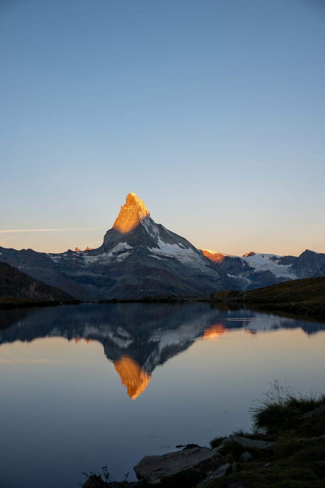
The Five Lakes Walk is one of the most popular hiking routes in Zermatt. It connects five mountain lakes, each offering a different view of the surrounding Alps and, on clear days, the Matterhorn reflected in the water. The route starts at Blauherd and finishes at Sunnegga, passing Stellisee, Grindjisee, Grünsee, Moosjisee, and Leisee. It covers approximately 9.8 km and takes around 2.5 hours of walking. The trail is rated moderate, making it suitable for reasonably fit hikers. To reach the starting point, take the Sunnegga funicular from Zermatt, followed by the gondola to Blauherd. The best time to visit is June to September, when the trail is generally accessible and the mountain scenery is at its best.
- Distance: 9.8 km
- Duration: Approximately 2 hours 30 minutes
- Difficulty: Moderate
- Starting point: Blauherd
- Ending point: Sunnegga
- Best time to visit: June to September
- Access: Sunnegga funicular and Blauherd gondola
- Best for: Photographers, nature lovers, and hikers looking for Matterhorn views.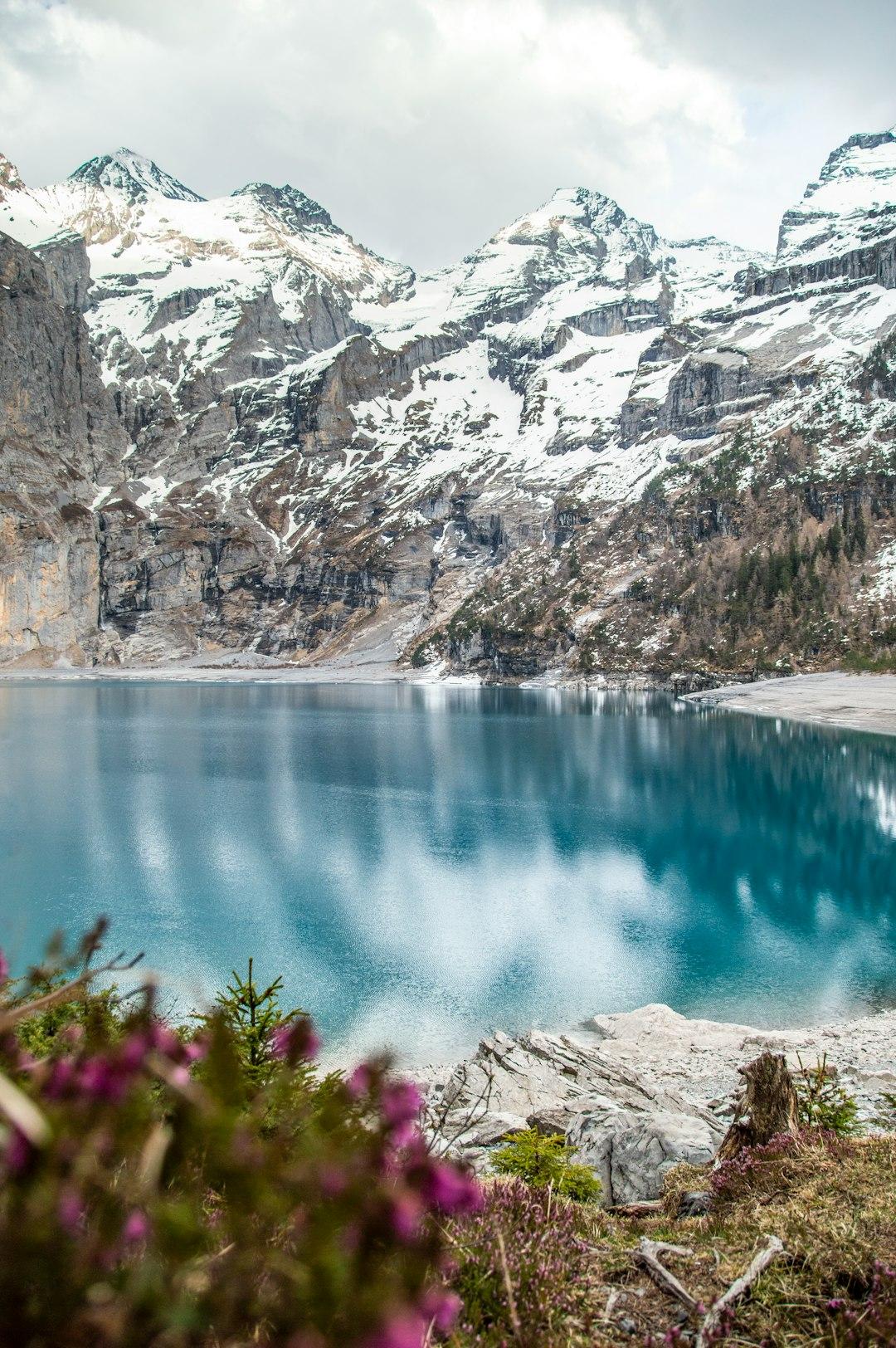
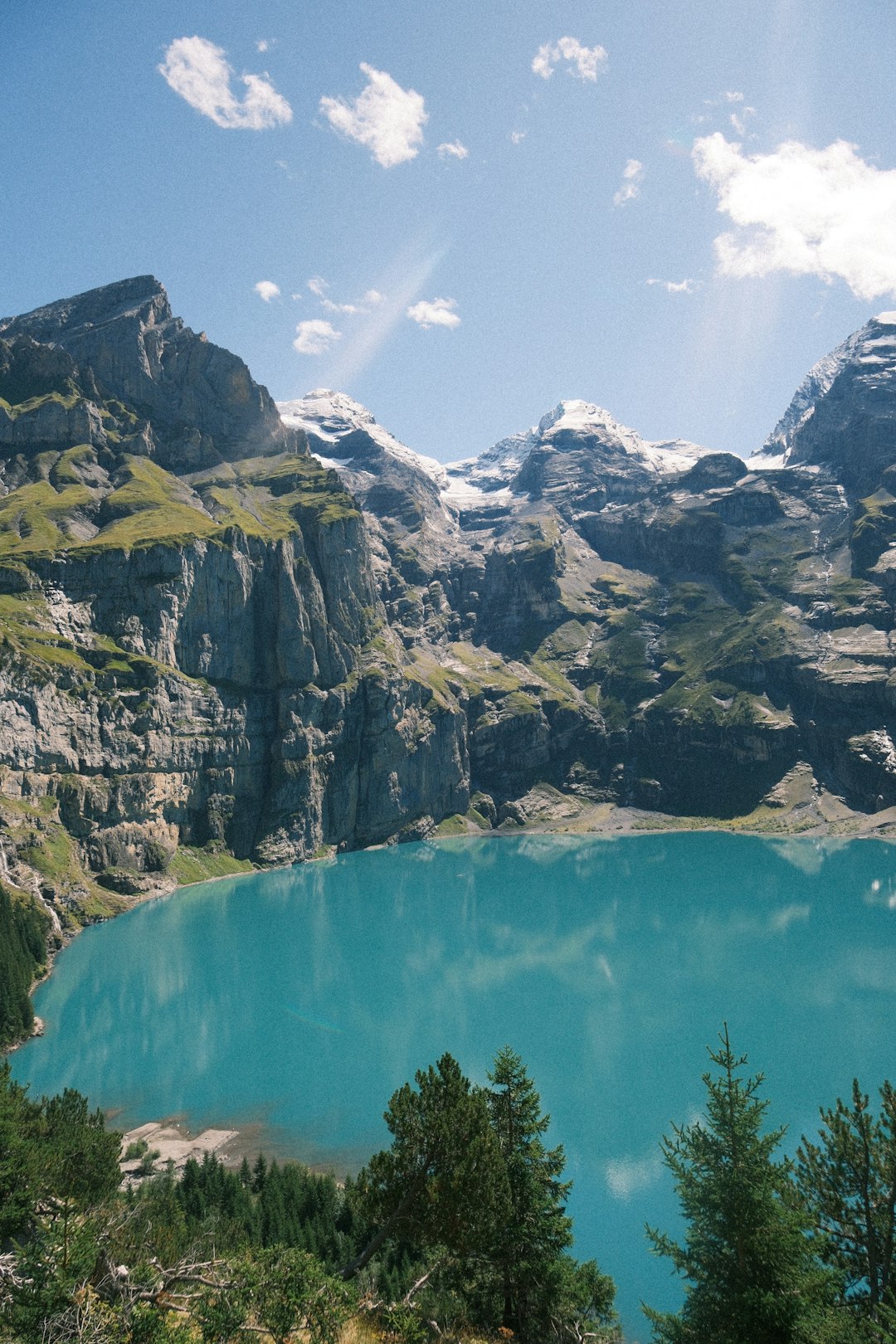
Oeschinensee Panorama Trail, Kandersteg
Oeschinensee is one of Switzerland's most beautiful mountain lakes, surrounded by steep cliffs, green slopes, and snow-covered peaks. The surrounding hiking routes offer panoramic views of the lake and the Bernese Alps. The panorama route is a good choice for hikers who want more than a short lakeside walk. Depending on the route selected, expect several hours of hiking, with uphill sections and elevated viewpoints overlooking the water. Reach Oeschinensee by taking the gondola from Kandersteg to the mountain station. From there, follow the marked hiking signs and check the current trail conditions before choosing your route. For 2026, adult return gondola tickets cost CHF 36 during the shoulder seasons and CHF 40 between June 15 and September 21. Swiss Travel Pass and Half Fare Card holders receive discounted fares.
- Location: Kandersteg, Bernese Oberland
- Difficulty: Moderate for the panorama routes
- Access: Oeschinensee gondola from Kandersteg
- Best time to visit: Summer and early autumn
- Gondola return ticket: CHF 36–40
- Best for: Panoramic photography, alpine scenery, and lake views.Tip: Book your gondola time slot in advance during the busy summer season. Some routes may close depending on weather and trail conditions.
Lauterbrunnen Valley Trail (Lauterbrunnen to Stechelberg)
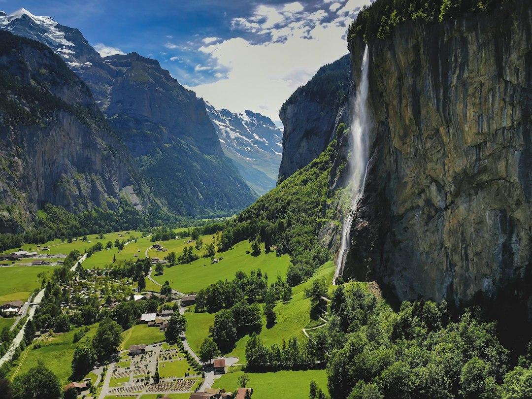
The Lauterbrunnen Valley Trail is one of the easiest ways to experience Switzerland's famous mountain scenery without taking on a difficult alpine hike. The route follows the valley floor, passing green meadows, traditional Swiss buildings, and impressive waterfalls. Starting at Lauterbrunnen railway station, the 8 km trail continues to Stechelberg. Along the way, hikers can see Staubbach Falls and the famous Trümmelbach Falls, which flow through the mountain. The walk takes approximately two hours and has only 161 metres of ascent, making it suitable for beginners and families. The path is relatively gentle, although comfortable walking shoes are recommended. Lauterbrunnen is easily reached by train from Interlaken Ost. After finishing the walk in Stechelberg, take the PostBus back to Lauterbrunnen.
- Distance: 8 km one-way
- Duration: Approximately 2 hours
- Difficulty: Easy
- Starting point: Lauterbrunnen railway station
- Ending point: Stechelberg
- Best time to visit: April to November
- Access: Train to Lauterbrunnen and PostBus from Stechelberg
- Trail cost: Free, excluding transport and optional attractions
- Best for: First-time hikers, families, and waterfall lovers.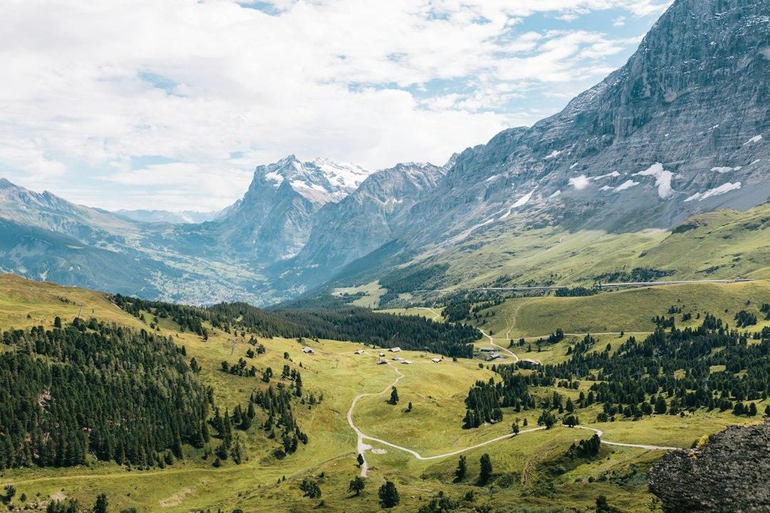
Eiger Trail (Eigergletscher to Alpiglen), Grindelwald
The Eiger Trail offers an unforgettable walk beneath the famous North Face of the Eiger. It is one of the most impressive hiking routes in the Jungfrau Region, with views of towering rock walls, glaciers, and surrounding mountain peaks. The 6 km route starts at Eigergletscher station and descends to Alpiglen. It takes approximately two hours, with around 100 metres of ascent and 820 metres of descent. Although the trail is not extremely long, the steep descent and some exposed sections make it more demanding than a typical valley walk. Certain sections are secured with ropes, so proper hiking shoes and a good level of fitness are important. Reach Eigergletscher using the Jungfrau Railway or Eiger Express connection from Grindelwald Terminal. At the end of the hike, take the train from Alpiglen back towards Grindelwald.
- Distance: 6 km one-way
- Duration: Approximately 2 hours
- Difficulty: Moderate
- Starting point: Eigergletscher
- Ending point: Alpiglen
- Best time to visit: July to October
- Access: Jungfrau Railway or Eiger Express, followed by the train from Alpiglen
- Trail cost: Free, excluding mountain transport
- Best for: Confident walkers and travellers interested in dramatic Alpine landscapes.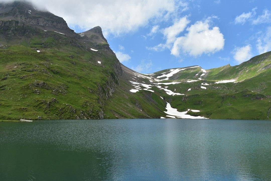
Bachalpsee Lake Trail, Grindelwald First
The Bachalpsee Lake Trail is a popular choice for visitors who want to experience Switzerland's mountain scenery without spending an entire day hiking. The route leads from Grindelwald First to Bachalpsee, a beautiful alpine lake surrounded by green mountain slopes and snow-covered peaks. The well-maintained path takes less than an hour each way, with approximately two hours recommended for the return walk. The lake is especially beautiful on calm mornings, when the surrounding mountains appear in the water. To reach the trailhead, take the Grindelwald First gondola from the village. Follow the marked path from the mountain station to the lake, then return along the same route. The trail is generally suitable for beginners with reasonable fitness, although its high-altitude setting means weather conditions should always be checked before setting out.
- Distance: Approximately 6 km return
- Duration: Approximately 2 hours return
- Difficulty: Easy to moderate
- Starting and ending point: Grindelwald First station
- Best time to visit: Summer to early autumn
- Access: Grindelwald First gondola
- Best for: Beginners, photographers, and travellers looking for a shorter mountain walk.Tip: Check the current Grindelwald First gondola fares before travelling, as ticket prices depend on the travel date and available discounts.